New buildings in Australia must be constructed in accordance with the National Construction Code (NCC). The NCC includes requirements for building work in 'Designated Bushfire Prone Areas'.
For City of Moreton Bay, 'Bushfire Prone Areas' are identified by the Planning Scheme's Bushfire Hazard Overly Mapping and designated by Part 1, Table 1.6.1 of the Planning Scheme.
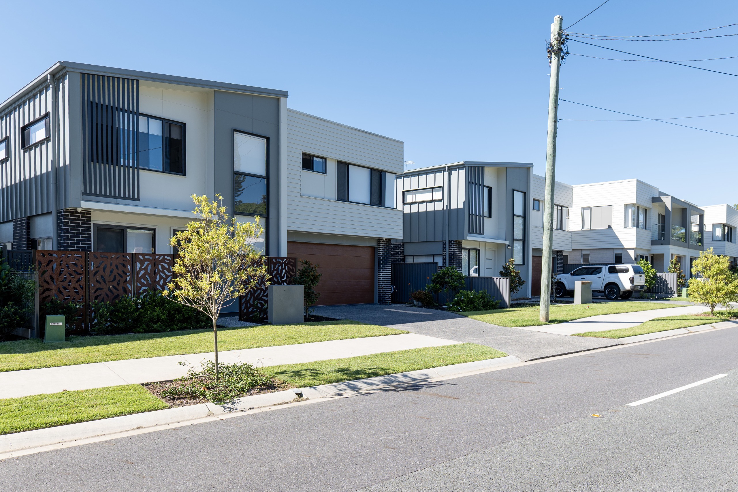
Currently our Planning Scheme (through Part 1, Table 1.6.1) excludes land in General residential, Township, Centre and Industry Zones from the 'Designated Bushfire Prone Areas'. This means some residential buildings (Class 1-3 and 10a buildings) and other specific Class 9 buildings (such as health care, most education and residential care buildings), can be constructed in these zones without meeting the NCC safety requirements for buildings in 'Bushfire Prone Areas'.
The proposed amendment removes these exclusions from the 'Designated Bushfire Prone Areas' to ensure resilience and public safety is improved in the construction of applicable new buildings across the city.
Key changes in the proposed amendment
To support improved bushfire resilience and public safety within bushfire prone areas, it is proposed that land within the following zones will no longer be exempt from the designation of bushfire prone areas in Part 1, Table 1.6.1 of the planning scheme:
- General residential zone and all applicable precincts
- Township zone and all applicable precincts
- Centre Zone and all applicable precincts, and
- Industry Zone and all applicable precincts
This will mean that new building work for the above classes of buildings in all zones affected by the Planning Scheme’s bushfire hazard mapping will now be subject to the NCC safety requirements for buildings in 'Bushfire Prone Areas'. This will ensure new buildings, such as homes, healthcare facilities, schools, and aged care facilities meet the bushfire safety standards in the NCC.
Bushfire hazard overlay maps
Council is not proposing to update the current bushfire hazard overlay maps to reflect State Planning Policy (SPP) 2017 mapping. A further updated SPP mapping for bushfire hazard is pending release by the State Government and a city-wide Bushfire Hazard Risk Assessment is currently underway to inform a more holistic approach addressing bushfire hazard risk.
The State Government’s review of Council’s proposed amendment directed that Part 2, Section 2.1 of our current planning scheme be updated as the Council bushfire hazard mapping does not reflect the current version of the SPP 2017 bushfire mapping . This has been addressed in the updated version of the proposed amendment. This mirrors the current legislative framework, which already requires development proposals involving subdivision or Material Change of Use to refer to the current SPP 2017 as part of any assessment of bushfire hazards in cases where a planning scheme doesn’t contain the most up-to-date mapping.